First Nations
Ngunnawal Country — Running to the Feast
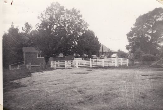
For millennia the Ngunnawal people gathered at Uriarra each summer for the Bogong moth harvest — "Uriarra" itself means "running to the feast."
Discover more →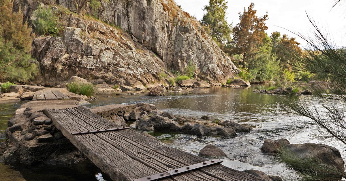
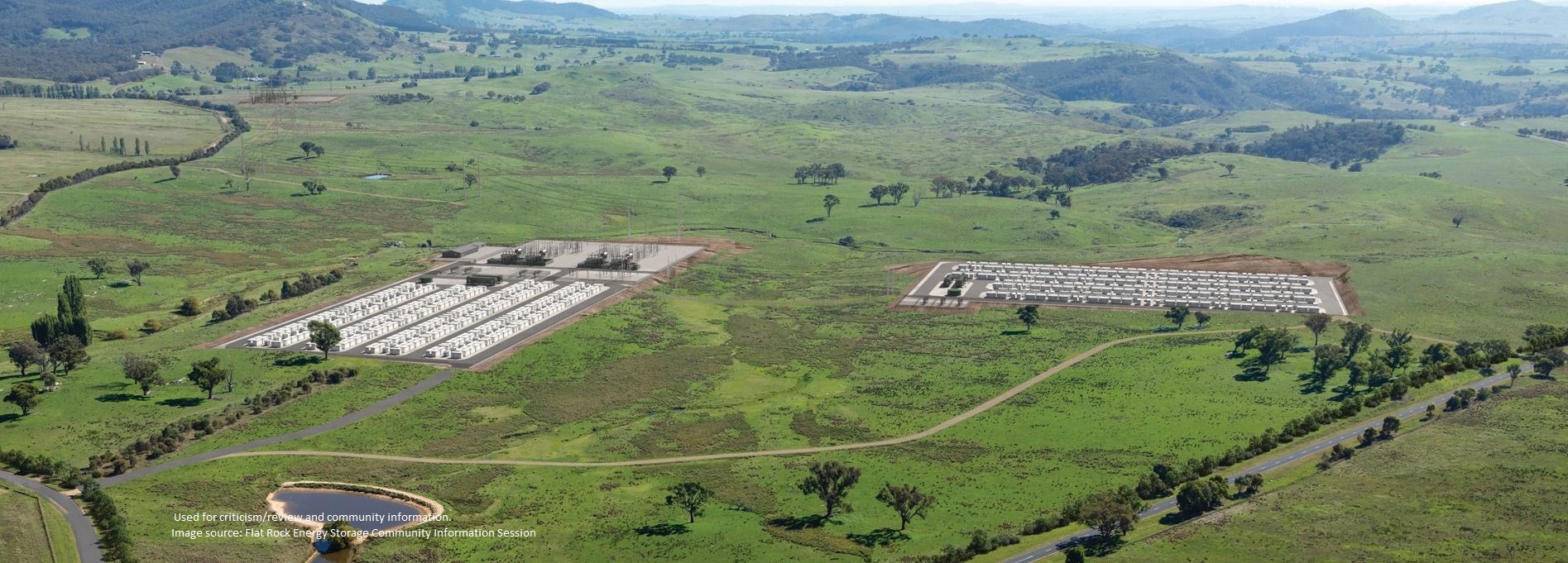
The multinational developer behind the 520-megawatt BESS Battery wants to transform a rural heritage pastoral landscape in the Uriarra Valley into a large-scale industrial site. The serene valley faces disruptions from increased noise, light, and visual pollution and set a precedent for future industrialisation.
Read the ImpactsNestled in the rural hinterland of the Australian Capital Territory, Uriarra Valley carries a quiet dignity — a place where farming heritage, native bushland, and community converge.
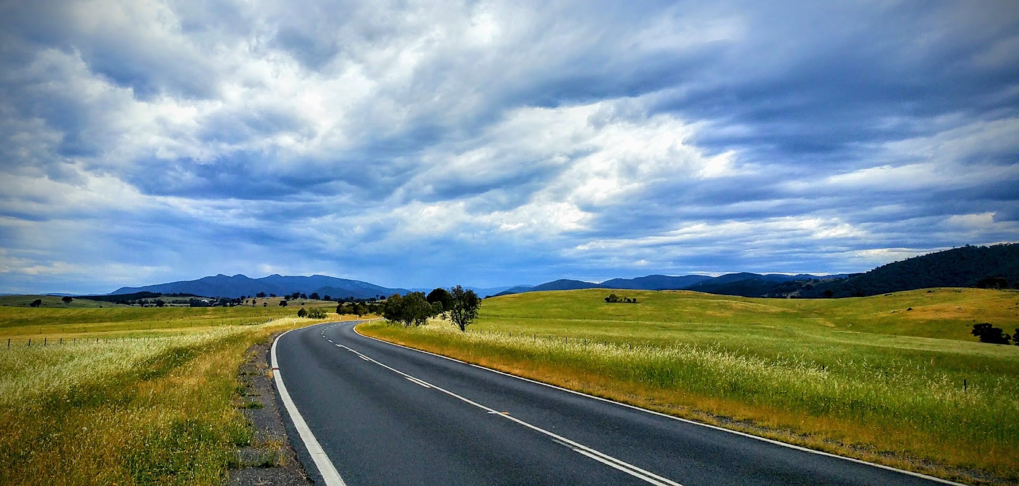
Uriarra Valley stretches across the western slopes of the ACT, where open paddocks roll into native eucalypt forest and the light falls soft across the land each evening.
For generations, families have worked this land — sheep and cattle grazing on rolling slopes, orchards tucked into sheltered gullies, and homesteads standing as quiet testaments to a life lived close to the earth.
Today, Uriarra Valley remains one of the ACT's most cherished rural landscapes — a place where heritage is not just remembered, but lived. The valley's story is one of resilience, connection to country, and an enduring rural character that distinguishes it from the city just over the hill.
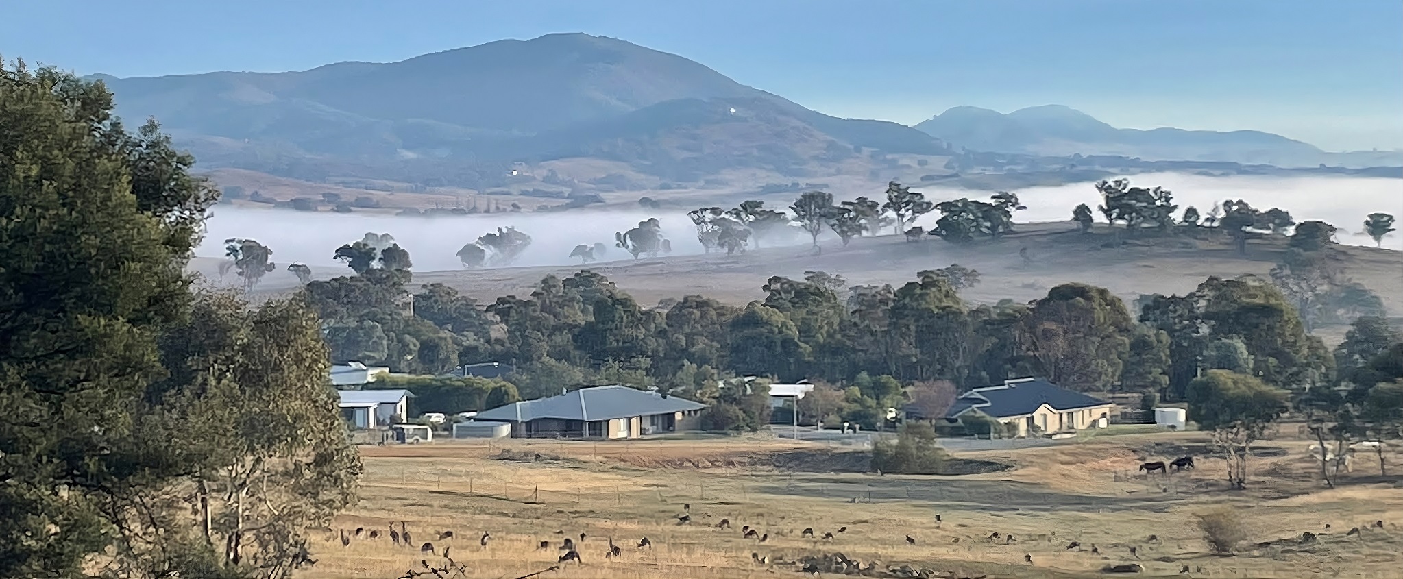

Read the National Trust's historical report on the Uriarra Valley and its early pastoral holdings.
From the river flats to the high country, the Uriarra Valley and its surrounding ranges are one of the ACT region's great natural playgrounds — paddling, riding, walking and camping country on Canberra's western doorstep.
Uriarra Valley's mix of river flats, woodland remnants and open grazing country makes it one of Canberra's best birding spots. Look for crimson and yellow-tailed black cockatoos in the old eucalypts, gang-gang cockatoos, honeyeaters, thornbills and wood ducks on the water. The Uriarra Loop is the best way to see them all.
Drop a line in the Murrumbidgee at Uriarra Crossing or Swamp Creek — golden perch, redfin and the mighty Murray cod all live in these waters. The Goodradigbee up in the park is another favourite.
Uriarra East and West reserves have sandy beaches on Snowy-fed water that's refreshingly cold even in summer. Dogs love it too — Swamp Creek is an off-leash favourite. No lifeguards, so swim to conditions.
The Cotter–Uriarra loop (~37 km) is a classic Canberra training ride: up Brindabella Rd past Uriarra Village, down through the Three Sisters, home along Uriarra Rd. Weekend pelotons are a valley fixture.
Riders rate the Cotter–Uriarra loop among the best twisty roads near Canberra — banked uphill sweepers clockwise, off-camber descending challenges anticlockwise. Watch for cyclists and roos.
The 2 km Uriarra Loop track runs from Uriarra East down to the Molonglo–Murrumbidgee junction, while the high country of Brindabella National Park offers full-day hikes to summits and alpine huts.
Four campgrounds in Brindabella National Park — Flea Creek (facilities, riverside), Coree, Lowells Flat and McIntyres Hut (remote, 4WD access). Pitch a tent under the she-oaks on the Goodradigbee.
Low light pollution makes the valley one of the best night-sky spots near Canberra. On clear nights the Milky Way stretches horizon to horizon — exactly the darkness this landscape is loved for.
Autumn rains bring saffron milk caps and slippery jacks to the region's pine plantations — a foraging tradition in the Uriarra and Stromlo forests for generations of Canberra families.
Step into the valley's own "Sherwood Forest" — mature oaks, cedars and elms planted by early settlers, one of the region's most magical heritage groves (see our video library).
Take a virtual walk through the valley — from heritage tours to landscape tours, these videos bring the rural character of Uriarra to life.
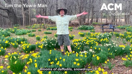
With its magical forest of oaks, cedars and elms, Canberra's Sherwood Forest is just as enticing as its namesake in England.
The Canberra Times · Tim the Yowie Man · Sep 2022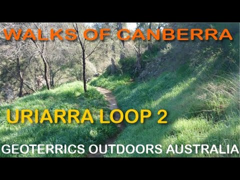
A scenic hike through Uriarra Crossing — part of the Uriarra Loop trail in the Canberra region. Explore the bushland and river views.
Walks of Canberra · Nice Hike · Geoterrics Outdoors Australia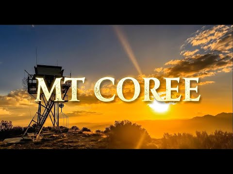
Discover the beauty of Uriarra Valley and the surrounding Canberra region.
Outdoor Adventures Australia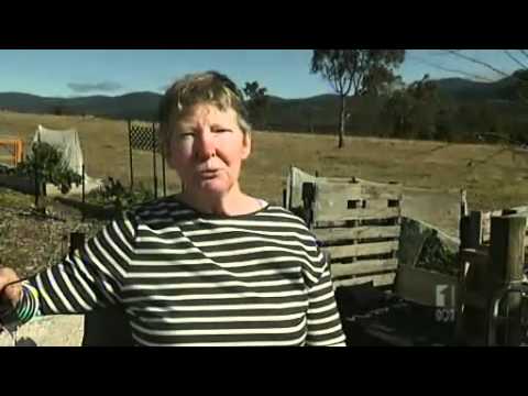
After being destroyed in the 2003 Canberra fires, Uriarra village has been rebuilt with an additional 70 homes — villagers share their stories.
ABC News (Australia)
In 2012, the rebuilt Uriarra Village was formally recognised and named as a village within the ACT.
ABC News (Australia)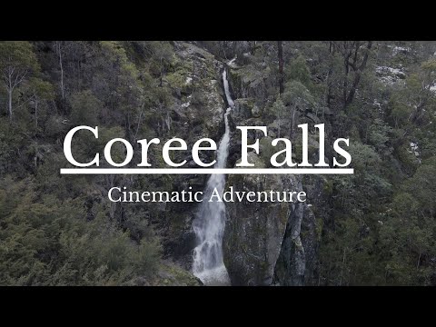
A hidden waterfall in the Brindabellas, just over the border from the ACT — filmed by drone in 4K.
Andy AllanStories, places, and faces that make up Uriarra Valley's ongoing story.
For millennia the Ngunnawal people gathered at Uriarra each summer for the Bogong moth harvest — "Uriarra" itself means "running to the feast."
Discover more →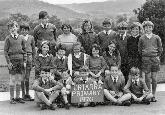
Life in Uriarra Valley is not as isolated as you might think — discover the community connections that bind this rural pocket to the wider region.
Discover more →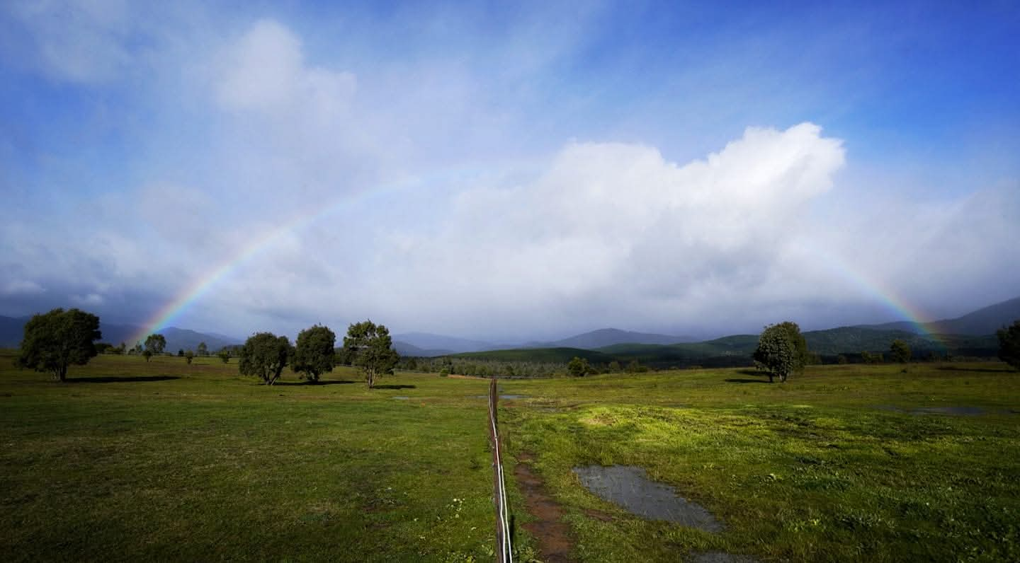
From the granite ridges to the river flats — a guide to the walking trails that reveal Uriarra's geology and ecology.
Discover more →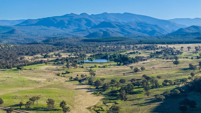
Over 318 Aboriginal places and objects, the Uriarra moth stone, and the stone ruins of Greenhills homestead — the Conservation Council on why Canberra's western edge matters.
Discover more →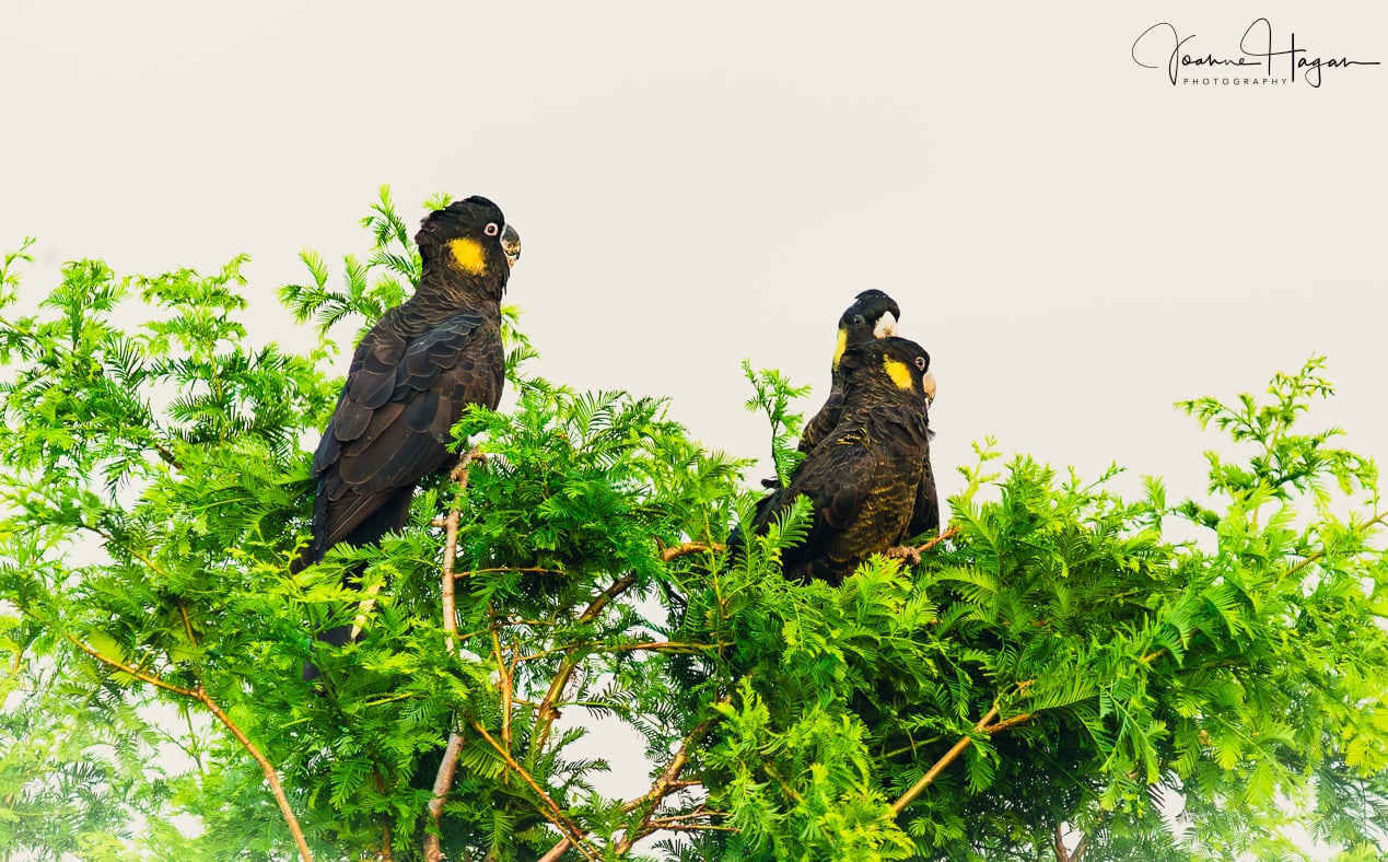
Uriarra Valley's diverse woodlands, river flats and open grazing country are home to an exceptional range of birds — cockatoos, honeyeaters, thornbills and wood ducks among them.
Discover more →Email the ACT Ministers deciding the fate of the Uriarra Valley with your concerns. One email from you counts — a hundred from the community counts more.
Why object? Tell them what this development means for the valley: